|
|
 |
Grid Squares Map
To view a topographic map of any square, Click Here.
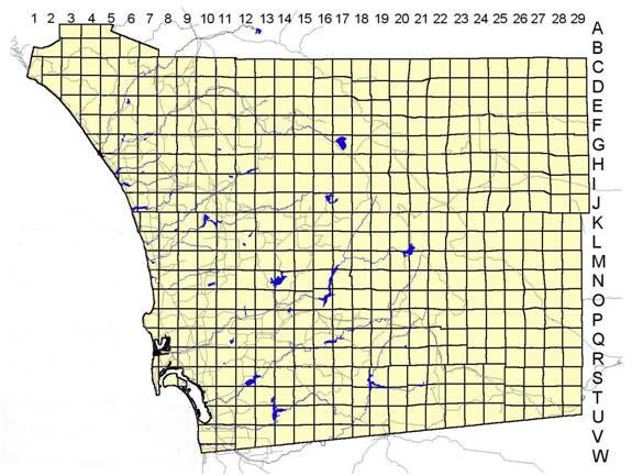
The Plant Atlas grid square system is the same one used by the San Diego
County Bird Atlas and is based upon the historic Public Land Survey that divided
much of the United States into townships, ranges, and sections. A section is one mile
square. Each township is divided into quadrants (four Atlas grid squares). Each Atlas
grid square equals nine sections (three on a side) and is nine square miles in area.
Grid square ID is assigned by a simple index system (numbers 1 through 29 going from
left to right across the top of the map, and letters A through W from top to bottom
along the side of the map e.g., B5, L7, M28, etc.).